To predict clear skies, you combine satellite observations with sophisticated atmospheric models that analyze cloud formation, humidity, and temperature patterns. Satellites give real-time images of cloud cover and movement, while models simulate how atmospheric conditions will evolve. By integrating these tools, you can forecast when the sky will remain clear. If you stay with this, you’ll discover how advances in technology help improve the accuracy of these forecasts even further.
Key Takeaways
- Satellite analysis provides real-time imagery of cloud cover, aiding in identifying potential clear sky periods.
- Atmospheric models simulate weather changes by integrating data on wind, humidity, and temperature for accurate forecasts.
- Combining satellite data with modeling enhances prediction of cloud formation and sky transparency.
- Advances in satellite technology and computational power improve the precision of clear sky forecasts.
- Understanding atmospheric behavior, including factors like solar radiation and topography, helps forecast sky clarity and transparency.

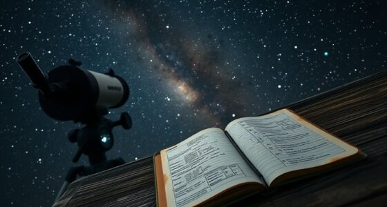
Clear skies have always symbolized calm and clarity, but predicting them with accuracy remains a complex challenge. When you rely on weather forecasts, you might notice that clear days can sometimes turn cloudy unexpectedly or that the sky appears cloudless when rain is imminent. This unpredictability stems from the intricacies of atmospheric behavior, which scientists and meteorologists endeavor to understand through advanced tools like satellite analysis and atmospheric modeling. Satellite analysis allows you to observe large-scale weather patterns from space, providing real-time data on cloud cover, humidity, and temperature. These satellites capture high-resolution images that reveal the formation and movement of clouds, helping forecasters identify areas where clear skies are likely to persist. When combined with atmospheric modeling, satellite data becomes even more powerful. Atmospheric models simulate the Earth’s weather systems by processing vast amounts of data, enabling you to predict how atmospheric conditions will evolve over hours or days. These models incorporate variables such as wind patterns, temperature gradients, and humidity levels to generate detailed forecasts of cloud cover and transparency. By analyzing satellite imagery alongside atmospheric simulations, meteorologists can improve the accuracy of clear sky predictions. For you, this means more reliable forecasts, whether you’re planning outdoor activities or just want to know when to expect a sunny day. This integrated approach helps identify subtle atmospheric changes that might lead to sudden cloud formation or clear skies, giving you a better sense of what to anticipate. The challenge lies in the dynamic and complex nature of Earth’s atmosphere, which is constantly influenced by factors like ocean currents, solar radiation, and local topography. Satellite analysis helps you detect these influences quickly, while atmospheric modeling offers a framework to interpret their impact on weather patterns. Additionally, continuous advancements in satellite technology and computational power are refining your ability to forecast transparency with greater precision. As these tools evolve, your confidence in predicting clear skies improves, making planning easier and more accurate. Furthermore, understanding the role of atmospheric behavior enables meteorologists to better anticipate sudden changes in weather conditions. Whether you’re a traveler, an outdoor enthusiast, or simply someone who appreciates sunny weather, understanding how satellite analysis and atmospheric modeling work together gives you insight into the science behind the forecasts. It’s a reminder that predicting clear skies involves a sophisticated blend of technology, data interpretation, and scientific knowledge—an ongoing effort to decode the atmosphere’s complex signals and provide you with dependable weather predictions.

Ambient Weather WS-2902 WiFi Smart Weather Station
COMPLETE WEATHER STATION: (1) Osprey Sensor Array with Rain Cup, and (1) Brilliant, Easy-to-Read LCD Color Display
As an affiliate, we earn on qualifying purchases.
As an affiliate, we earn on qualifying purchases.
Frequently Asked Questions
How Accurate Are Long-Term Clear Sky Forecasts?
Long-term clear sky forecasts aren’t very accurate because they rely heavily on satellite imagery and cloud cover models, which can change unpredictably. You might get a general idea of upcoming weather patterns, but precise predictions beyond a week are often unreliable. Cloud cover can shift quickly, making it hard to confidently forecast clear skies long ahead. For the most accurate info, check updated forecasts closer to your desired date.
Can Transparency Forecasts Predict Atmospheric Pollution Levels?
Transparency forecasts can help you gauge atmospheric pollution levels by analyzing transparency modeling, which considers how particles and pollutants affect visibility. While there’s a pollution correlation—lower transparency often indicates higher pollution—you shouldn’t rely solely on these forecasts. They provide useful insights, but for precise pollution data, always check dedicated air quality reports. Transparency modeling offers a valuable, though indirect, way to monitor pollution trends and visibility conditions.
Do Weather Forecasts Consider Microclimates for Clear Sky Predictions?
Think of weather forecasts as a finely tuned orchestra, but sometimes they miss the subtle notes of microclimate variations. While broad predictions cover regional weather, they often overlook localized weather patterns caused by urban heat islands or nearby bodies of water. So, yes, weather forecasts sometimes consider microclimate variations, but predicting clear skies with pinpoint accuracy requires understanding these localized weather quirks that can turn a sunny day into a cloudy surprise.
How Do Seasonal Changes Affect Transparency and Sky Clarity Forecasts?
Seasonal shifts markedly impact transparency and sky clarity forecasts because atmospheric variability changes with the seasons. During winter, cooler temperatures and increased humidity can reduce visibility, while summer often brings clearer skies due to drier conditions. You should consider these seasonal patterns when planning outdoor activities, as they influence the accuracy of your sky clarity predictions. Adjust your expectations based on current seasonal trends for more reliable forecasts.
Are There Real-Time Tools for Checking Upcoming Clear Sky Conditions?
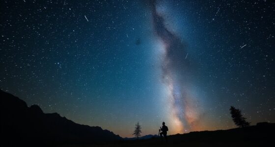
Yes, you can check upcoming clear sky conditions in real time with tools like satellite imagery and sky maps. These tools provide live visuals of cloud cover and atmospheric transparency, helping you plan your stargazing or outdoor activities. Websites and apps from weather services or astronomy organizations often feature these resources, giving you instant updates on weather patterns and sky clarity, so you know when the skies will be most favorable.

GARMIN ELEC. Garmin 010-02277-00 GXM 54 SiriusXM Satellite Weather and Audio Receiver, White, Large
Great Product
As an affiliate, we earn on qualifying purchases.
As an affiliate, we earn on qualifying purchases.
Conclusion
By mastering weather and transparency forecasts, you hold the key to revealing clear, sunlit skies. Imagine stepping outside, your path bathed in a golden glow, as clouds retreat like shy guests slipping away. With these tools, you become a sky whisperer, confidently predicting the perfect day ahead. Embrace this knowledge, and watch as your plans unfold beneath a vast, azure canvas—where every sunrise promises a breathtaking, cloudless masterpiece just waiting to be seen.

Newentor Weather Station Wireless Indoor Outdoor Thermometer, Color Display Digital Weather Thermometer with Atomic Clock, Barometric Pressure, Forecast Station with Adjustable Backlight, Black
[7.5" LCD Screen Weather Stations] Newentor temperature&humidity monitor with large color display, which shows comprehensive information: inside outside…
As an affiliate, we earn on qualifying purchases.
As an affiliate, we earn on qualifying purchases.
DEARMAMY High Precision SEC Size Estimation Chart Transparency Flaw Detection Film Ruler for Diameter Line Width Defects Measuring
Durable and reliable: made from sturdy materials, this ruler is built to last, providing longterm reliability and durability
As an affiliate, we earn on qualifying purchases.
As an affiliate, we earn on qualifying purchases.