When Polaris is hidden, you can still navigate by relying on the Sun, planets, and lunar cues. During the day, measure the Sun’s altitude at local noon with a sextant and use solar tables to determine your latitude. At night, identify bright planets like Venus or Jupiter to help establish direction. Lunar phases and positions can also guide you. Mastering these methods guarantees you stay on course even when your view of Polaris is blocked. Learning more will enhance your navigation skills.
Key Takeaways
- Use the Sun’s altitude at local noon and solar tables to determine latitude when Polaris isn’t visible.
- Identify bright planets like Venus, Mars, or Jupiter as navigational landmarks at night.
- Employ lunar phases and positions to estimate location through lunar navigation techniques.
- Combine dead reckoning with celestial observations to improve position accuracy when Polaris is obstructed.
- Utilize star charts and navigation apps to identify other stars and planets for orientation in the absence of Polaris.
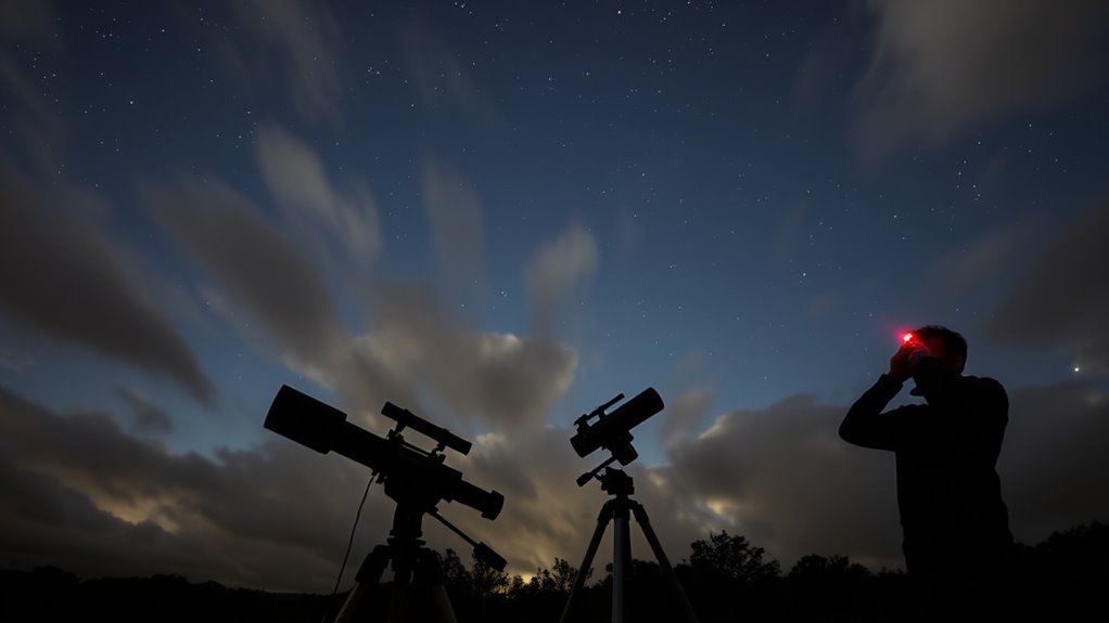
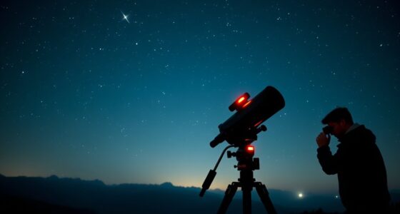
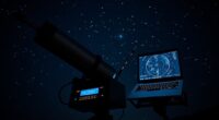
Even without the guiding glow of Polaris, navigators have found ways to stay on course. When the North Star is obscured—whether by thick clouds, fog, or a dense canopy of trees—you need to rely on alternative methods to determine your position. Celestial navigation, traditionally centered around Polaris for northern hemisphere sailors, isn’t limited to just that star. Instead, you can employ other celestial bodies, like the Sun, Moon, or planets, to keep your bearings. These methods require knowledge, practice, and sometimes specialized tools, but they can be incredibly reliable when Polaris isn’t visible.
One of the most effective alternative methods is using the Sun’s position. During daytime, you can determine your latitude by measuring the Sun’s altitude at local noon. By using a sextant, you measure the angle between the Sun and the horizon. Knowing the date, you can consult solar tables to convert this measurement into your latitude. This technique is straightforward and dependable if you have clear skies and accurate tools. Additionally, the Sun’s position changes predictably throughout the day, helping you establish a rough sense of east or west, especially when combined with a watch set to local time or a known time zone.
Measure the Sun’s altitude at noon to determine your latitude accurately.
At night, when Polaris is blocked, you can turn to the Moon and planets. Bright planets like Venus, Mars, or Jupiter can serve as navigation aids, especially when you know their approximate positions based on the date and your location. Using star charts or navigation apps, you can identify specific planets and use their positions relative to other celestial objects to confirm your course. The Moon, with its phases, can also be helpful; knowing its position in the sky and its phase can assist in estimating your location, especially if you’re familiar with lunar navigation techniques.
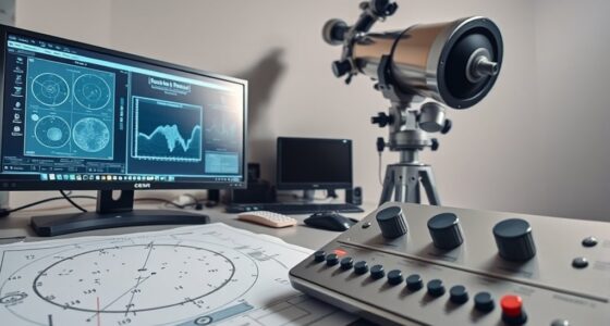
Another key method involves dead reckoning—keeping track of your course, speed, and elapsed time from a known starting point. While it’s prone to cumulative errors, combining dead reckoning with celestial observations enhances accuracy. Modern GPS devices make it easier, but if you’re in a situation where they’re unavailable, traditional tools like a compass, clock, and nautical charts become your best friends.
In all cases, understanding your environment and having a good grasp of celestial mechanics are essential. Even without Polaris, navigation is still possible with careful observation, proper tools, and a solid knowledge base. You might not get as precise as with Polaris, but with these alternative methods, you can confidently determine your position and stay on course until clear skies return. Mastering celestial navigation can significantly improve your chances of staying on course when the usual landmarks are hidden.
Frequently Asked Questions
How Accurate Are Alternative Alignment Methods Compared to Polaris?
Alternative alignment methods like star tracking and celestial navigation are quite accurate, often comparable to Polaris-based methods. When Polaris is obstructed, you can rely on star tracking to identify other prominent stars and use celestial navigation techniques to determine your position precisely. These methods require careful observation and calibration but can provide reliable alignment, especially with modern equipment, ensuring you stay on course even without a clear view of Polaris.
Can These Methods Be Used During Daytime Observations?
Like steering a ship without a compass, you can use daytime landmarks and celestial shadowing for alignment. These methods work during daytime observations, as long as you identify suitable features like the Sun’s position or shadows cast by objects. By carefully timing your observations and noting the position of shadows relative to landmarks, you can achieve accurate alignment even when the night sky isn’t visible.
What Equipment Is Necessary for Aligning Without Polaris?
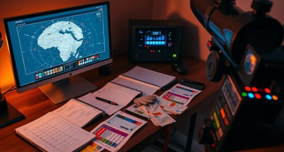
You need a sturdy mount with precise alignment features, such as a polar alignment scope or computerized mount, to align without Polaris. You’ll also want a clear view of the star horizon, so you can use alternative celestial objects like the Sun or bright stars for mount alignment. A good star chart or app helps identify these objects, making daytime or obstructed sky observations more accurate and straightforward.
Are There Specific Celestial Events That Aid in Alignment?
Yes, certain celestial event timing, like the appearance of the Moon or specific planets, can help with alignment. Natural landmarks, such as the Sun’s position during sunrise or sunset, also assist in navigation. By observing these celestial events at specific times and using landmarks, you can accurately align your telescope or equipment even without a clear view of Polaris. Always plan your observation around these key moments for better accuracy.
How Do Weather Conditions Affect Non-Polaris Alignment Techniques?
Ah, the glamorous world of celestial navigation—where atmospheric interference and cloud cover conspire to make your night sky a complete mystery. Weather conditions can seriously sabotage your non-polaris alignment techniques, as clouds block your view and atmospheric interference distorts star positions. You end up guessing your way through the darkness, desperately hoping the clouds part just long enough for you to find those elusive celestial markers. Truly, nature’s sense of humor knows no bounds.
Conclusion
Even when Polaris hides behind clouds or trees, your ingenuity becomes the guiding star. By mastering alternative methods, you navigate the night sky’s maze, turning obstacles into opportunities. Remember, every challenge is like a twist in the constellation, waiting to be connected with clever techniques. Trust your instincts and adapt your approach—you’ll find your way through the darkness, shining bright with newfound confidence and a compass built on resourcefulness.